“ARCore and LiDAR: A Comprehensive Guide for Developers”
Introduction
Augmented Reality (AR) has been gaining popularity worldwide, and Google’s ARCore is one of the most popular platforms used by developers to create immersive AR experiences. However, as the demand for AR continues to grow, developers are increasingly asking if LiDAR technology can be used with ARCore. LiDAR technology allows for accurate 3D mapping and object tracking, making it a natural fit for AR applications. In this guide, we’ll explore the features and compatibility of ARCore with LiDAR, as well as future updates and potential developments in this field.
Features of LiDAR with ARCore
LiDAR technology enables developers to capture high-resolution 3D scans of their environment, which can be used to create accurate and realistic AR experiences. One of the main advantages of using LiDAR with ARCore is that it allows for object tracking in real-time, which is essential for creating interactive and immersive AR applications.
Another feature of LiDAR technology is its ability to capture high-resolution 3D models of objects, which can be used to create more detailed and realistic AR experiences. This can be particularly useful for applications such as architectural visualization or product prototyping, where accuracy is critical.
Compatibility of LiDAR with ARCore
While LiDAR technology can be used with ARCore, it’s important to note that not all LiDAR systems are compatible with the platform. To ensure seamless integration, developers should look for LiDAR systems that are specifically designed to work with ARCore. Additionally, developers must have a good understanding of Unity, which is the primary development engine used with ARCore.
Future Updates and Developments in LiDAR with ARCore
Google has already made some updates to ARCore that make it easier for developers to integrate LiDAR technology into their applications. For example, the latest version of ARCore includes support for real-time object tracking using LiDAR data. This means that developers can now create more interactive and immersive AR experiences that respond to the user’s environment in real-time.
As LiDAR technology continues to evolve, we can expect to see even more updates and developments in the integration of LiDAR with ARCore. For example, as LiDAR technology becomes more affordable and accessible, we may see more developers using it to create AR experiences that are more accurate and realistic.
Real-Life Examples of LiDAR with ARCore
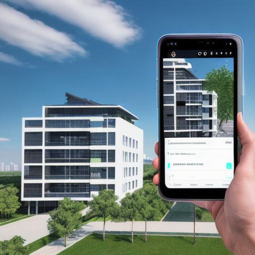
One of the most exciting applications of LiDAR with ARCore is in the field of architecture. Architects can use LiDAR technology to create highly detailed 3D models of buildings, which can then be used in AR applications to provide clients with a more immersive and interactive experience. For example, a client could put on an AR headset and explore a building as if they were actually there, making it much easier for them to visualize the space and make design decisions.
Another application of LiDAR with ARCore is in product prototyping. By using LiDAR technology to create highly detailed 3D models of products, developers can create more realistic and interactive AR experiences that allow clients to see how a product will look and function in real-life.
FAQs
Q: Can I use any LiDAR system with ARCore?
A: Not all LiDAR systems are compatible with ARCore. To ensure seamless integration, developers should look for LiDAR systems that are specifically designed to work with ARCore.
Q: What is the primary development engine used with ARCore?
A: Unity
You May Also Like

Maximizing Your ARCore Development with This Comprehensive Guide
January 23, 2024
How to Enable ARCore on Android: A Step-by-Step Guide
January 23, 2024
How to Enable ARCore: Step-by-Step Guide and Compatible Devices
January 23, 2024
More From Author

ServReality Brings Next-Gen Gaming Experiences to Apple Devices
January 23, 2026


The Top 25 Diamond and Pearl Pokémon
August 5, 2024